Shipping FREE anywhere in India!
- Home
- Elsevier's Dictionary of Geographical Information Systems
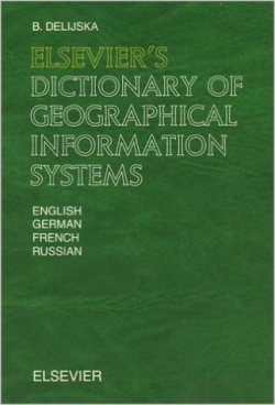
Elsevier's Dictionary of Geographical Information Systems
Author: B.Delijska
ISBN: 0-444509917
Year: 2002
Pages: 372
Medium: English
Publisher: Elsevier
₹14,721.00₹13,248.00
Price includes all taxes.
- Description
Elsevier's Dictionary of Geographical Information Systems contains 4,040 terms with about 1,700 cross-references that are commonly used in the theory and practice of geographical information systems. The terms were selected according to their significance or frequency of use. The terminology covers the areas of geoinformatics, geostatistics, computer cartography, geospatial databases, computer graphics, geodesy, photogrammetry, remote sensing, hardware and software for introduction, processing and visualization of geospatial data, etc. Geographical information systems are modern, widely distributed and strategic tools in many human activities (land survey and regulation, ecology, forestry, agronomy, demography, hydrology, urban planning, transport, etc.).
- Lorem ipsum dolor sit amet 1
- Lorem ipsum dolor sit amet 2
- Lorem ipsum dolor sit amet 3
© 2016, bookline.co.in. All rights reserved.
Website designed by Infomedia Web Solutions


